

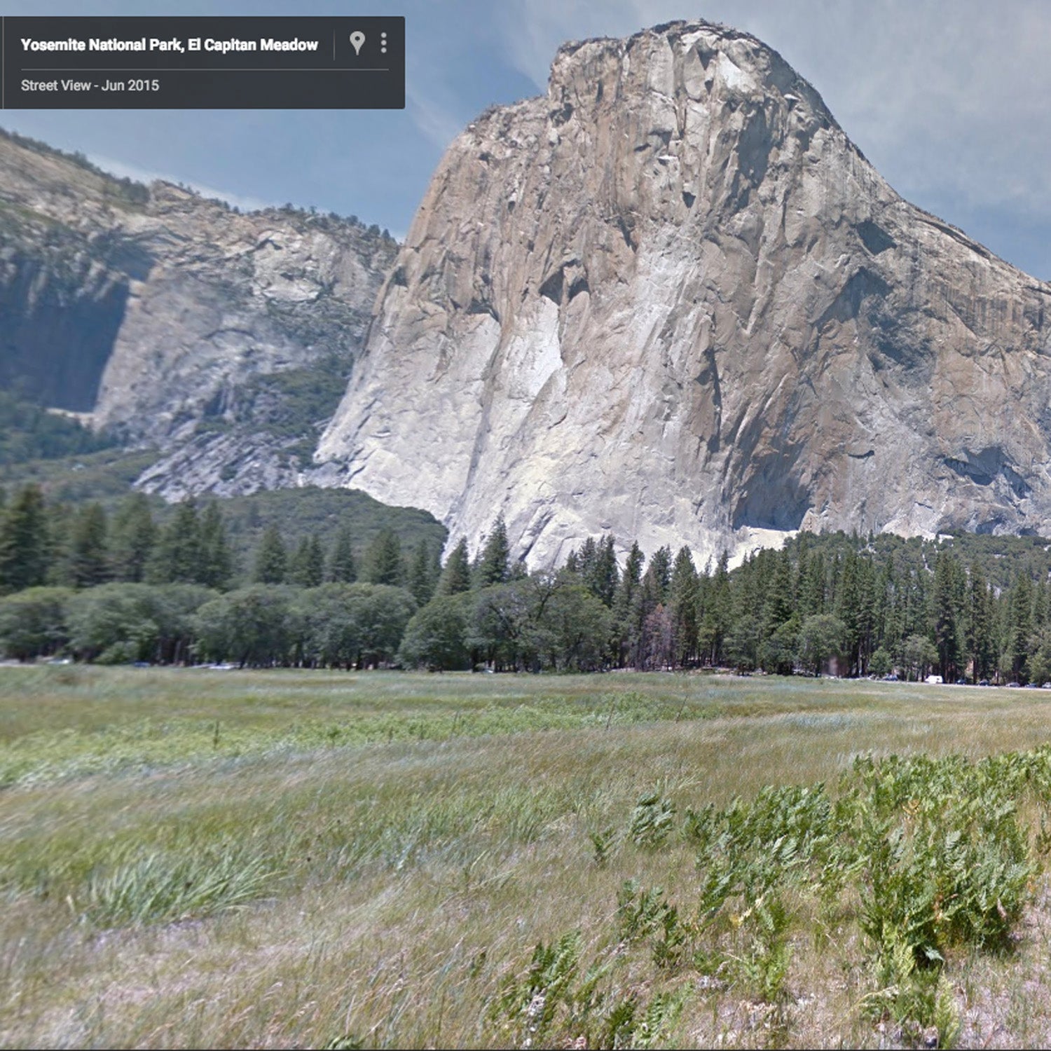
Google Earth expanded its to include 360-degree imagery of El Capitan Meadow and Bridalveil Fall, among other iconic landmarks, according to Deanna Yick, the program manager of Google Maps Street View.
In June, Google partnered with Yosemite National Park and rock climbers Tommy Caldwell, Alex Honnold, and Lynn Hill to create a map of El Capitan—the first time Street View had been used to map a vertical route. This time, the focus was on areas in the park that could be reached by foot. To capture imagery of the John Muir Trail and Camp 4, the Street View Team and members of the production team at —who also worked on the El Capitan project—hiked the park while wearing a Street View Trekker, a backpack equipped with a camera that takes a photo every 2.5 seconds.
“This imagery was taken by bringing the Trekker technology to areas that are super popular and that fill the gaps we had in the Yosemite Street View,” said Yick. “Making sure it’s seamless is what enables people to get really an immersive experience.”
The Street View team also received permission from the park service to capture imagery of the , which is currently off-limits to park visitors. “It’s not accessible to everyone for preservation reasons, so we worked with the National Park Service to make sure we could provide it online in lieu of seeing it in person,” said Yick.
With the upcoming National Park Service centennial next year, Yick said that the Street View team hopes to continue bringing Street View to the country's parks and trails. “We’re super aware of the centennial and are constantly working with the park service to see where Street View can go next and [what it can] bring online.”