

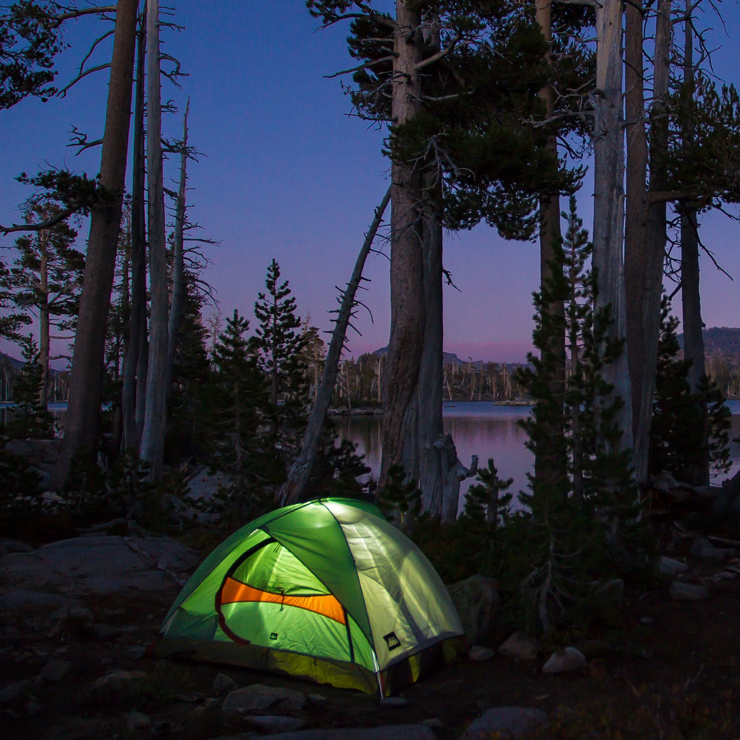
If taking a crack at the Appalachian or Pacific Crest Trail has been on your mind of late, you’re not alone. But reality check: Most of us are not in a position to hike for five months straight. So don’t. There are shorter thru-hikes that can be bagged with significantly less time off work, like the 211-mile John Muir Trail. It’s one of our country’s best bang-for-buck walks and can be . But it’s not the only one—there’s a thru-hike near you that can be completed in 30 days or less.
Long Trail, Vermont
Distance: 272 miles
30-Day Pace: Nine miles a day
Overall Altitude Gain: 177 feet (lowest) to 4,393 feet (highest)
Best Time: Early to midsummer is your best bet. The lower third overlaps the AT, so you should avoid the end of summer and fall, when the herds of thru-hikers reach Vermont. Some sections of the trail will close during the late-spring mud season.
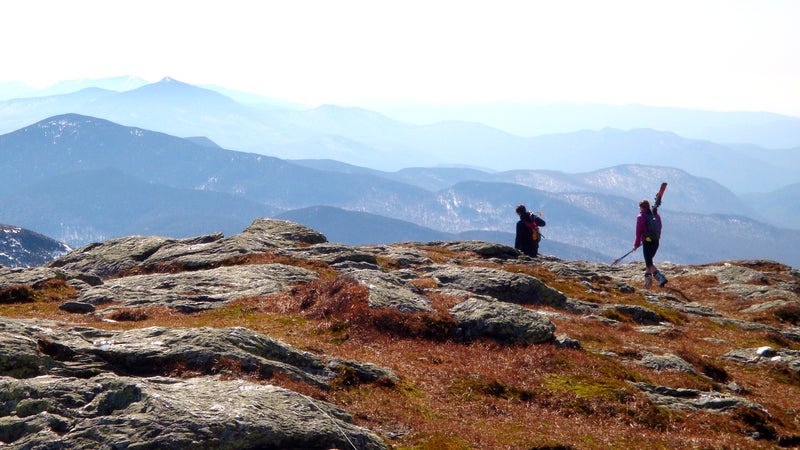
The takes you over Vermont’s highest peaks in the Green Mountains as it traverses the entire state from the Massachusetts state line to the Canadian border. Hikers will summit more than half a dozen major peaks, including Killington and Mount Mansfield (4,393 feet), the state’s highest peak. Be prepared to endure black fly season by bringing along a mesh bug net for your tent. How iconic is this New England trail? Enough to have a brewery named after it: .
Colorado Trail, Colorado
Distance: 486 miles
30-Day Pace: 16 miles a day
Overall Altitude Gain: 5,500 feet (lowest) to 13,271 feet (highest)
Best Time: Spring through fall
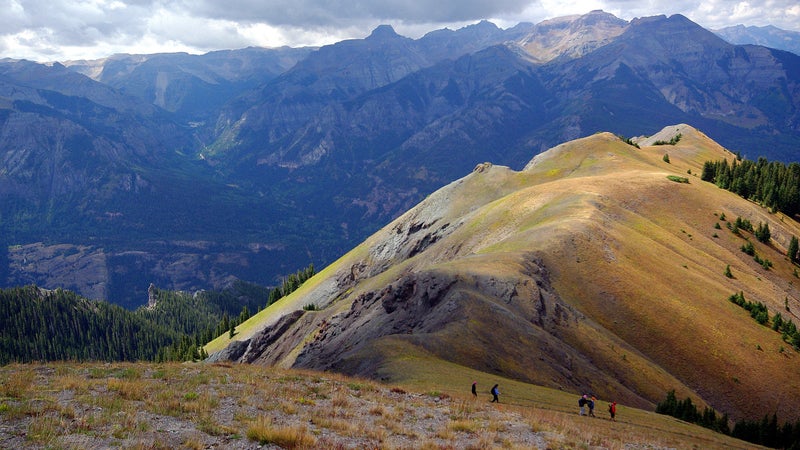
Starting in Denver and ending in Durango, most of the is at, above, or very close to the treeline, topping out at 13,271 feet in the San Juan Mountains. The route takes you through six wilderness areas and six national forests, and you can expect plenty of expansive “go on forever” views. You should be geared up for quick and drastic weather changes, mostly in the form of afternoon thunderstorms that roll in consistently during summer. Plan to start early in the day and end early to minimize the chance of getting caught in a storm above treeline.
Superior Hiking Trail, Minnesota
Distance: 296 miles
30-Day Pace: Ten miles a day
Overall Altitude Gain: 602 feet (lowest) to 1,829 feet (highest)
Best Time: Late summer or early fall
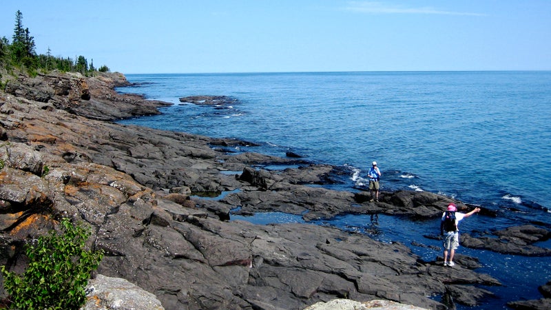
Beginning in Duluth and continuing on to the Canadian border, the follows the ridgeline of Lake Superior. The trail breaks down into two sections: The first 41 miles wind north through Duluth and a series of city parks. The remaining 255 miles are through the Lake Superior backcountry and seven state parks. Expect a wide yet classic range of Midwest terrain: rocky bluffs, birch forests, beaver-dammed rivers, and daily doses of the grandest lake Minnesota has to offer. Note that as of a few days ago, a 1.6-mile stretch of the route on . You’ll have to take a six-mile detour on the paved Gitchi-Gami State Trail to the Split Rock River.
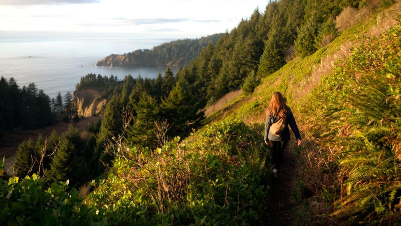
Oregon Coast Trail, Oregon
Distance: 425 miles
30-Day Pace: 14 miles a day
Overall Altitude Gain: Minimal
Best Time: Spring and fall weather can be hit or miss in Oregon. That rain not only makes things uncomfortable but also ensures that some rivers will flood or become unpassable. Stick to the summer months.
The predictably follows entire coastline of Oregon, from the Colombia River in the north down to the California border. Long stretches on the beach are some of the trail’s best moments, but they’re nicely rounded out with strips through temperate rainforests and small towns. Camp on the beach one night and in the forest the next, or, if you desire a shower, brush yourself off for a night in one of the seaside villages. Ferries help you cross rivers along the way. If you prefer to stay traditional, the foot trail utilizes roadways to bypass estuaries. Proper wind and rain gear is highly necessary to mitigate the coastal elements.
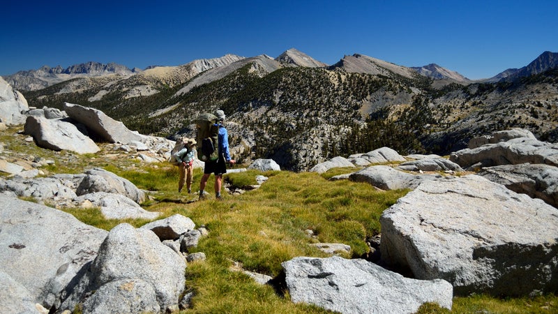
Sierra High Route, Sierra Nevada
Distance: 195 miles
30-Day Pace: 6.5 miles a day
Overall Altitude Gain: 9,000 feet (lowest) to 11,500 feet (highest)
Best Time: Summer
Running parallel with the popular John Muir Trail, this lesser-known trail (also called the ) sees significantly less traffic and is more technically challenging and almost as highly elevated (you won’t dip below 9,000 feet). Scenic highlights are alpine lakes and basins surrounded by granite and loose terrain. Although advanced skills are not required, carrying rope and climbing shoes will help you safely conquer the Class 3 rock-face scrambles you’ll occasionally encounter. A topographical map and GPS are highly recommended.
Ouachita National Recreation Trail, Oklahoma and Arkansas

Distance: 223 miles
30-Day Pace: 7.5 miles a day
Overall Altitude Gain: 600 (lowest) to 2,600 (highest)
Best Time: Autumn, spring
The goes through the surprisingly scenic Ouachita Mountains, which uniquely run east to west and form the tallest range between the Rockies and Appalachians. Starting from Talimena State Park in Oklahoma and ending at Pinnacle Mountain State Park outside Little Rock, 192 miles of the trail travel through the oak-clad Ouachita National Forest. The tightly wooded area is punctuated with rambling streams, vistas, and wide valleys. Be sure to read up on the many side trails that take you to lesser-visited secrets, like hot springs and scenic overlooks. The best way to break up the monotony that might come with a lack of elevation swing is to go when fall foliage is peaking.
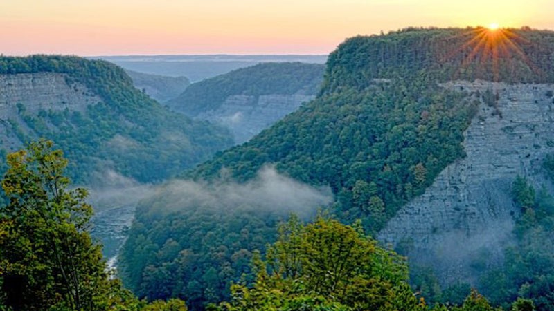
Finger Lakes Trail, Upstate New York
Distance: 557 miles
30-Day Pace: 18.5 miles a day
Overall Altitude Gain: 430 (lowest) to 3,660 (highest)
Best Time: Late summer/early fall
The runs from Allegany State Park, on the border of Pennsylvania and New York, to the east into the Catskills Forest Preserve. The most scenic part of the trail takes you along the south end of the Finger Lakes, including Seneca and Cayuga Lakes. Be sure to take an extra day to explore the gorges of Watkins Glen. We recommend starting in the late summer and finishing in the Catskills as the leaves change in early October.