

The extends from south of San Diego to the Oregon state line and is composed of 20,000 islands, rocks, and reefs that extend 20 nautical miles from the shore. These features make up the scenic views that travelers enjoy along the coast, but few visitors likely recognize them as having protected status. Until recently, the monument hasn’t included a land-based portion.
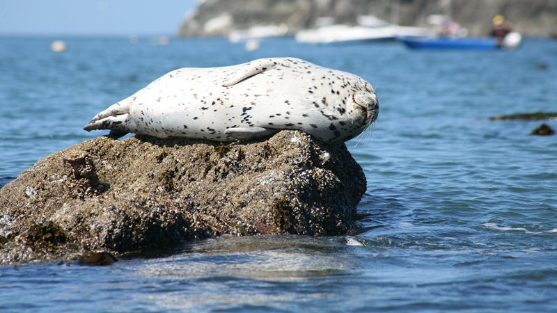
Using the Antiquities Act, on March 11, 2014, President Obama expanded the boundary of the Monument, adding 1,665 acres along the coastline just north of the town of Point Arena. The features 12 miles of undeveloped land, the mouth and estuary of the Garcia River, and an adjacent beach. The western bluffs are a perfect vantage to view harbor seals and sea lions on the shore, and migrating humpback whales breaching in the Pacific. The monument is an important habitat for migrating waterfowl, as well as the silverspot butterfly, which makes its home on the land’s bunchgrass prairies. The estuary makes for prime surf fishing for Chinook and coho salmon; the imperiled black oyster catcher also makes its home here.
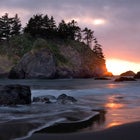
Thanks to monument status, lands that were previously off-limits are now open to hiking. Visitors have access to 12-miles of coastline tracks within the park, many of which grant views of the monument’s other features: blowholes, pinnacles, and sea caves. Trails also connect to the adjacent , bursting with wildflowers such as poppies, paintbrush, and sea pinks, and are part of the , a network of paths for walking, biking, and horseback riding the state’s nearly 1,200-mile coastline.